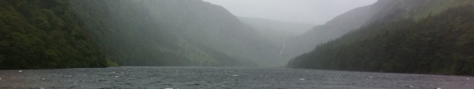

I’ve been working to understand the ancient landscape and people of Lycia (southwest Turkey) since 1997. Using Geographic Information Systems (GIS), I’ve worked on two projects in upland ‘nothern’ Lycia: the Hacımusalar Project in the Elmalı Basin and the Çaltılar Archaeological Project in the Seki Basin. Located here are reports and links about those projects.
 Çaltılar Archaeological Project Info (2012-)
- DEPAUW STUDENT APPLICATION FORM FOR THE 2014 FIELD SEASON (Word .doc). Applications are now closed for the 2014 season.
Project websites:
- Çaltılar Archaeological Project (University of Liverpool)
- Uncovering the Bronze Age and Early Iron Age in south-west Turkey (University of Bristol)
Project publications:
- “Settlement history and material culture in southwest Turkey: report on the 2008–2010 survey at Çaltılar Höyük (northern Lycia),” N. Momigliano, A. Greaves, T. Hodos, B. Aksoy, A. Brown, M. Kibaroğlu and T. Carter, Anatolian Studies 61 (2011) 61-121
Project news and reports:
- Mediterranean Archaeology Research Day: Ancient Lycia; Sat., Nov. 23, 2013, University of Liverpool
- GIS day 2013 poster at DePauw: “From the Ground Up: Archaeology and Landscape in the Xanthos Watershed” 20 Nov. 2013, by Kristin Otto and Genevieve Flynn
- GIS day 2012 poster at DePauw: “Mapping an ancient landscape on the Çaltılar Archaeological Project (northern Lycia, Turkey)” 14 Nov. 2012, by Kathleen Raymond-Judy and Danica Andersen
- Second DePauw story about our summer research with undergraduates both on campus and in Turkey; 31 Aug. 2012
- First DePauw story: DePauw’s team at Çaltılar during summer 2012 (with link to Turkish news video); 13 Aug. 2012
Hacımusalar Project Regional Survey (1997-2005)
- “The Hacımusalar Project Regional Survey: landscape and settlement investigations in the Elmalı Basin,” a PDF report accompanying a poster presented at the IIIrd International Symposium on Lycia in Antalya, Turkey; 7-10 November 2005. This paper was submitted for the publication of the conference proceedings, but was not included due to a misunderstanding between the Turkish and American project directors. Document date: 9 January 2006. Document illustrations:
- “The Hacımusalar Regional Survey: summary, 1997-2001“
- “The Hacımusalar Survey (Elmalı Basin, southwest Turkey), 1997-2000.” Poster for the January 2001 Archaeological Institute of America general meeting. Below are the five sheets for that poster:
Other Resources about Lycia
- PDF Map of major ancient Lycian sites
- Google Maps mashup of some ancient Lycian cities
- The Lycian Way (long-distance cross-country walking in Turkey)
- More details about the Lycian Way itinerary
- Old and unfinished entry for Lycia in the Encyclopedia of Roman Provinces
- Papers about ancient Lycia uploaded to academia.edu
